After fourteen months on the Ice, I took three months off and then returned for the 2012 winter season. While most of the season was similar to the previous one, there were two significant new events. On February 1, I was selected to go on what is colloquially known as a Sleigh Ride. During the end of the summer season, a number of flights are sent from McMurdo to the South Pole Station to resupply it with fuel for the next year. Since these planes can hold about 30 passengers and would otherwise be empty, a handful of people are selected for a "field trip" to the South Pole. Once the plane lands, it takes about thirty minutes to transfer the fuel, allowing the passengers to visit the station and take pictures at the geographic and ceremonial poles. In a surprise move upon returning to McMurdo, the pilot did not immediately land but rather flew the plane over the disintegrating sea ice and McMurdo Station, banking sharply so that we could take aerial photos of the landscape. What fantastic views!
A few months later, in the deep darkness of the winter solstice, Scott Base hosted its annual Polar Plunge, in which people jump into the ocean through a hole in the ice, immersing themselves in 28-degree Fahrenheit (minus-2-degree Celsius) water. Having missed this event my first winter, I opted to take the plunge this year. A video of my jump is at the bottom of this post. Enjoy!
The Flight to the Pole
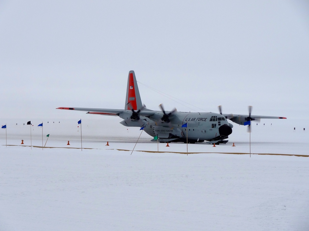
The LC-130 plane, used to fly fuel to the South Pole Station
The station is built on stilts that are able to lift hydraulically; as the snow collects, the station avoids getting buried.
The geographic South Pole, elevation 9301 feet
I'm at the South Pole!!! After taking this picture, I did a big lap around the pole marker so that I could say I've run around the world. :)
Larry at the South Pole
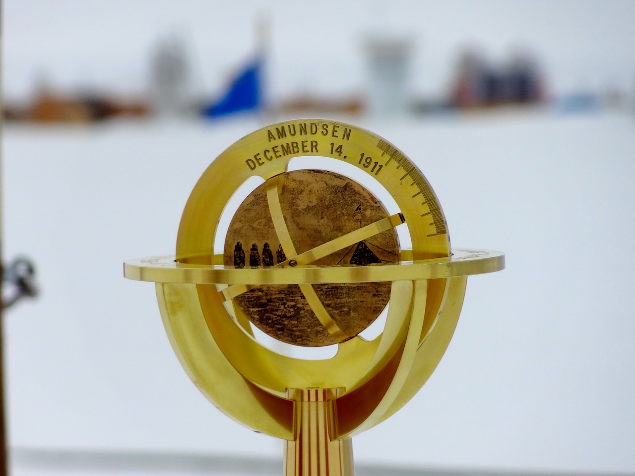
Because the ice shifts about 33 feet per year, the location of the pole is recalibrated every New Years Day. Since I was there on February 1, the pole marker would have been within 3 feet of the actual pole. On one side of the marker is a tribute to Amundsen and his men who were the first humans to reach the South Pole on December 14, 1911,
Scott and his men arrived five weeks later on January 17, 1912, thereby losing the race to the Pole.
The ceremonial pole is a surrounded by the flags of the twelve original signatories of the Antarctic Treaty.
Larry at the ceremonial pole
The Flight Back to McMurdo
The plance sits next to the fuel line used for resupplying the station.
In the cockpit of the LC-130
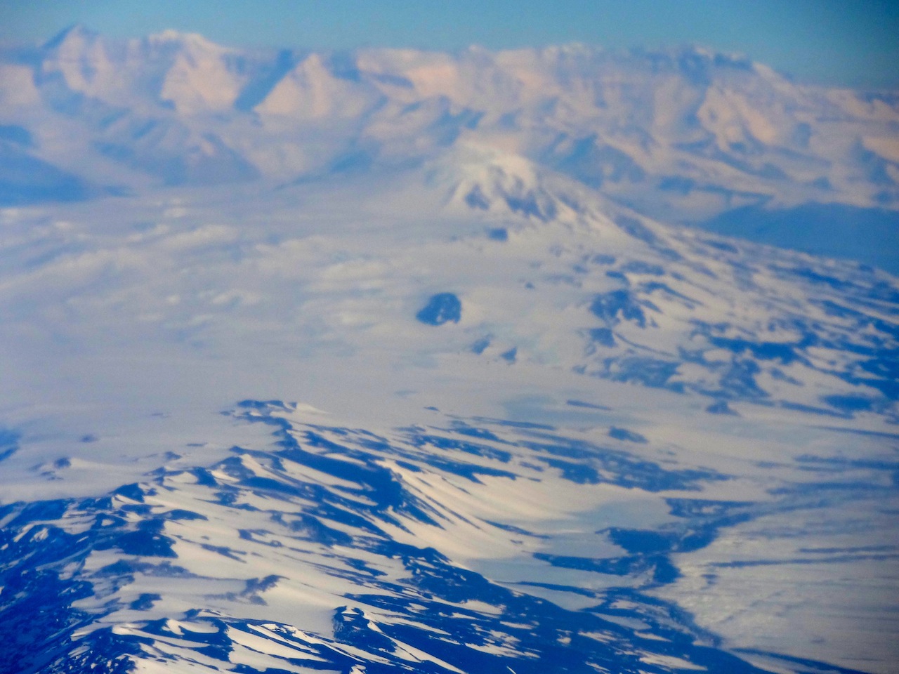
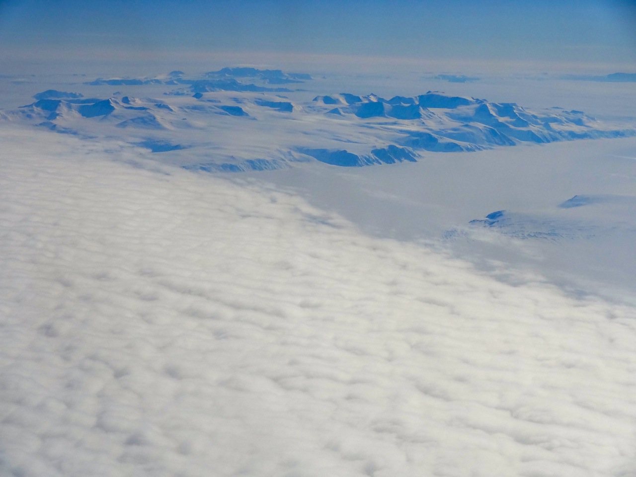
This and the next several photos are some of the views I saw from the plane on the flight back to McMurdo Station. Unfortunately, I don't know the names of any of them.
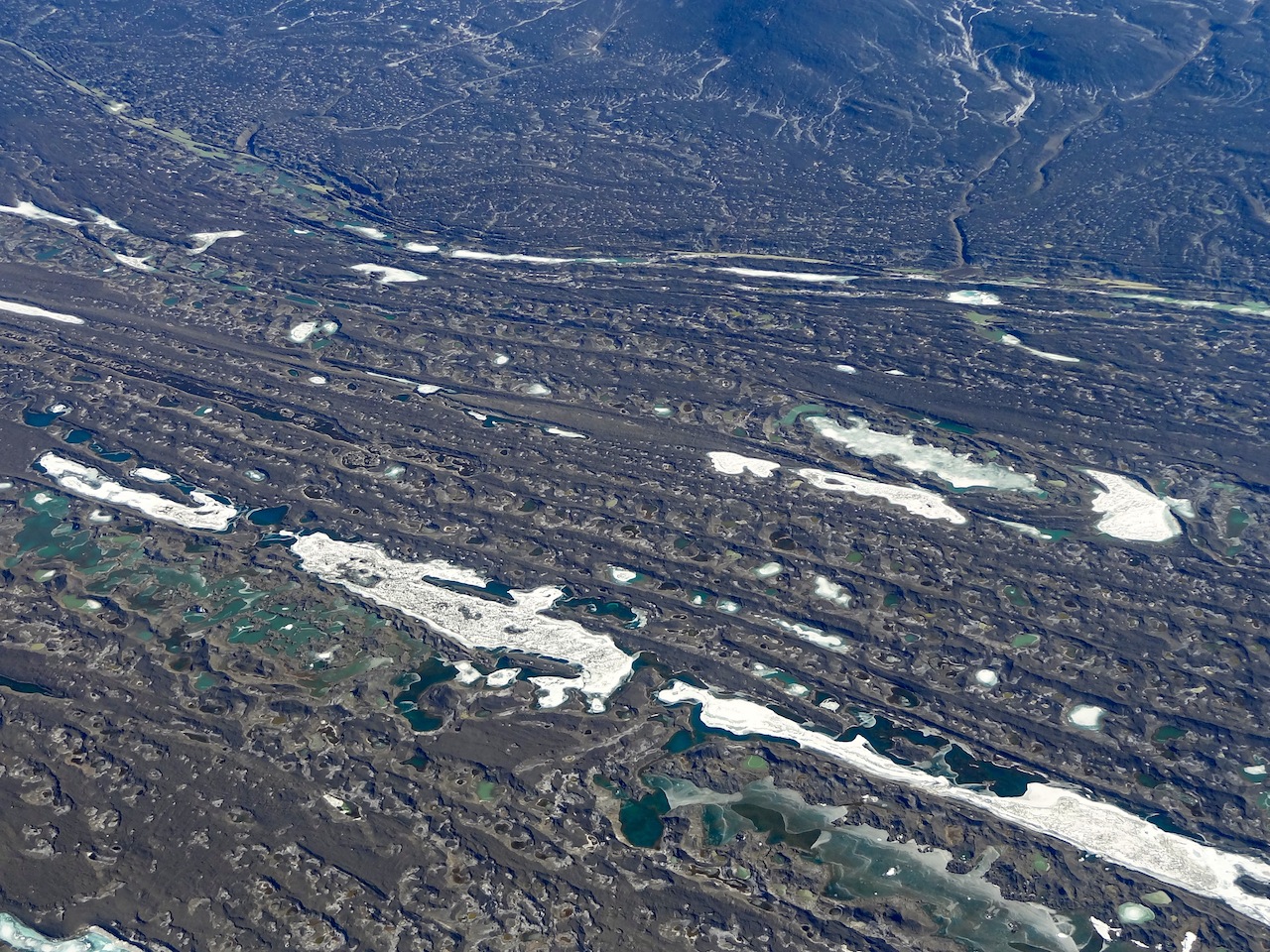
One of the melt pools on Black Island, about thirty miles south of McMurdo Station.
More melt pools on Black Island
Black Island's textured terrain
The peaks of Black Island
The dust trails on the north side of Black Island. Due to the wind patterns coming from the south, Black Island is generally snow-free, especially during the summer. This leaves a great deal of exposed rock and dust to be blown off the island onto the Ross Ice Shelf. Because this black debris heats up in the sun, it melts the snow underneath is much more quickly than would otherwise be the case, thereby creating pools, trenches, and other uneven texture in the ice.
A close of up debris from Black Island on the ice shelf
The edge of the Black Island debris with the Transantarctic Mountains in the background
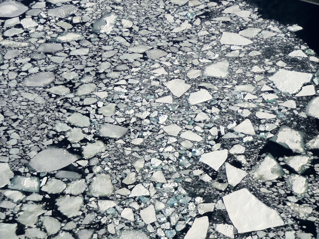
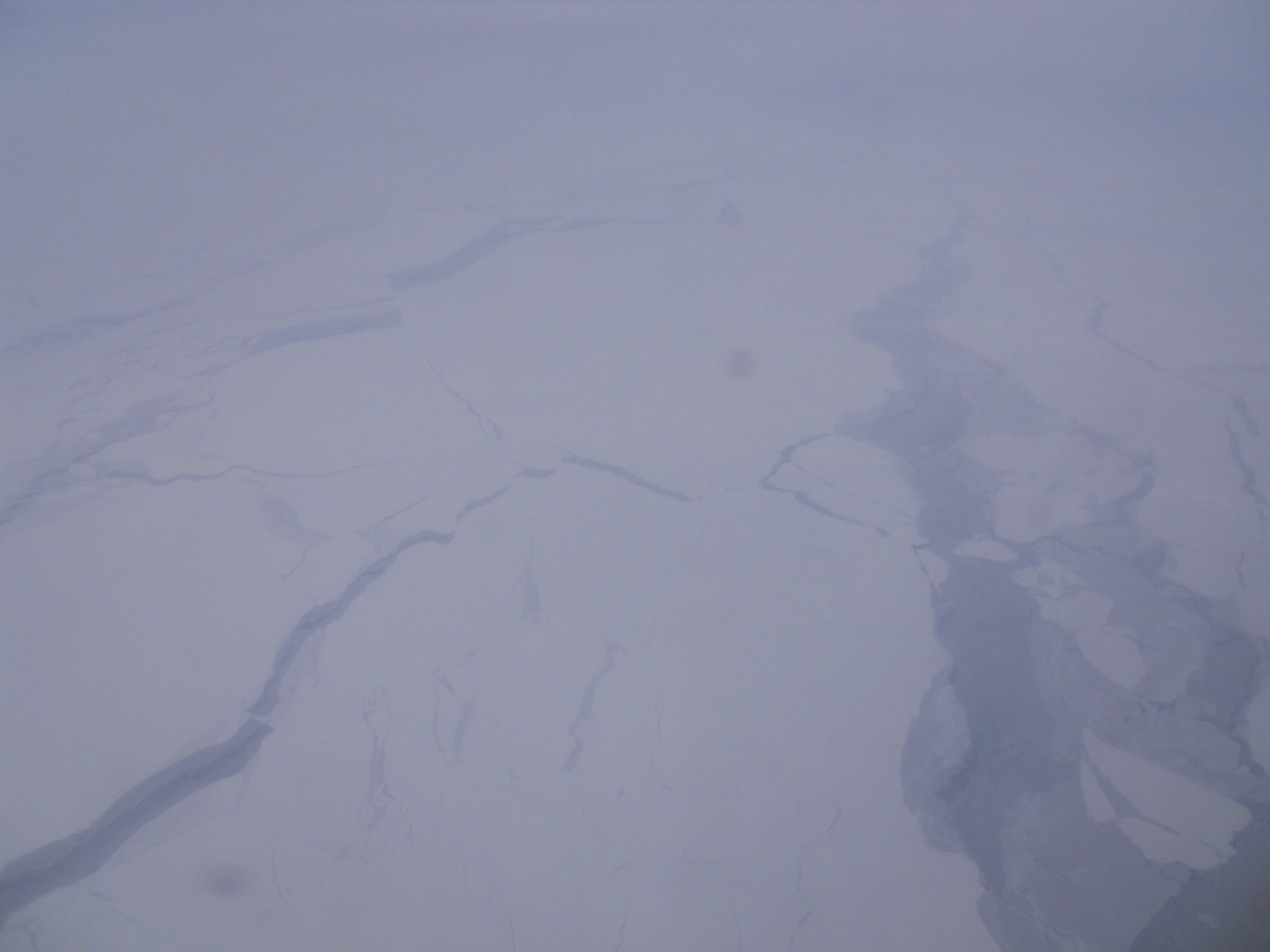
The edge of the sea ice as it breaks up
Pieces of ice floating in the open sea
The sea, the disintegrating sea ice, and the Transantarctic Mountains.
This is the path created by the icebreaker ship in the sea ice so that the fuel and supply ships could make it safely to station.
It's been a great fourteen months living on the frozen continent. I'm now sitting in a comfortable bed-and-breakfast in Sumner, New Zealand enjoying the humidity, the warmth, and a feeling of rejuvenation. Today, I've seen plants, animals, and children again for the first time in a long while. The flight last night was smooth and uneventful, and the manager of the South Pole Station, who'd had a stroke in August, was successfully evacuated. I've signed on for one more winter season, so I'll be back on the Ice next January. In the meantime, I'll be relaxing in New Zealand, Thailand, and Australia. Thanks to everyone for reading the blog. I hope you all enjoyed it as much as I did writing it. :-)
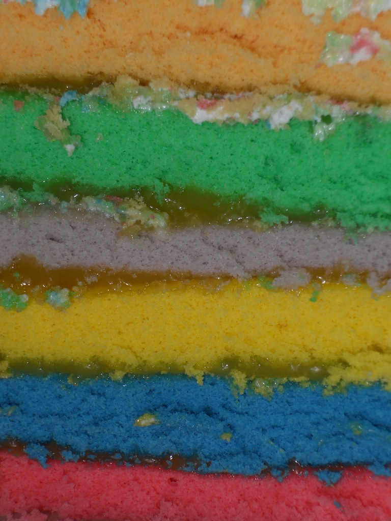
Larry celebrated the thirteenth anniversary of his sweet sixteen three days before we left.
Larry's birthday cake was made up of six layers of multi-colored cake. Thanks Brian for making a fantastic cake!
The last big group of winter-overs boards the plane to leave Antarctica.
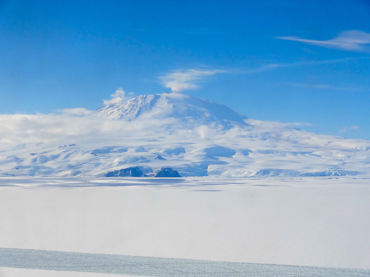
A final view of Mount Erebus and Ob Hill.
Yay! I'm leaving!
Loading the C-17 from the back. The plane was pretty empty, so there was lots of room to stretch out during the five-hour flight.
Mark, Brian (who made the birthday cake!), and Larry.
A view of the melting and cracking Antarctic sea ice from the plane.