At the end of every summer season, several ships come down to McMurdo, the southernmost point in the world accessible by ship, bringing fuel and supplies to restock the station for the next year. First comes the ice breaker to clear a path for the other ships; then comes the research vessel
Nathaniel B. Palmer bringing scientists ashore for a break and changing out some personnel; then comes the fuel vessel followed shortly by the supply vessel. This entire process takes the better part of a month, beginning in mid-January with the arrival of the icebreaker, and ending in early to mid-February when the supply vessel leaves. The timing of "Vessel" (the term for this process on station) coincides with the annual melting and breaking up of the sea ice in
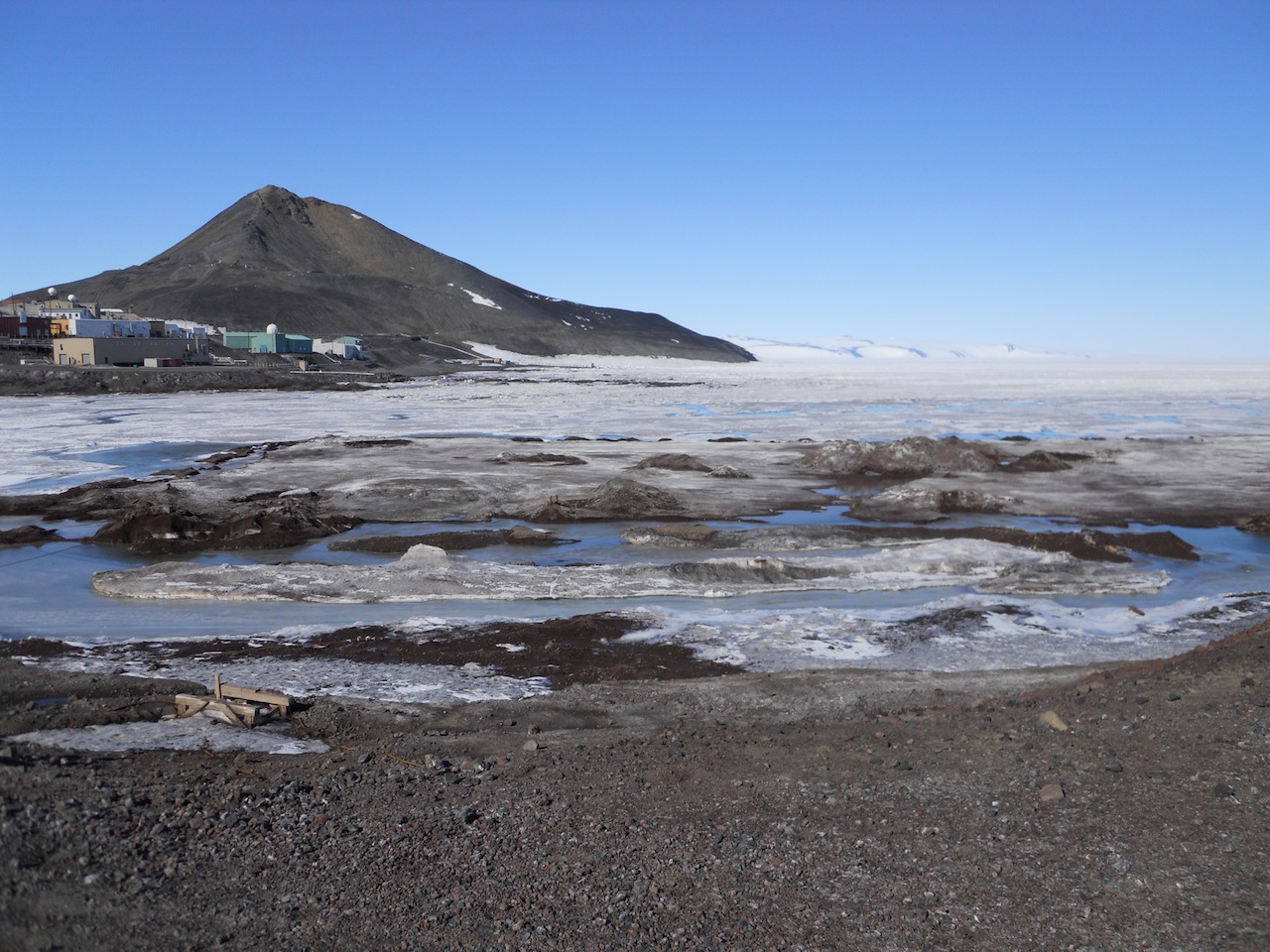
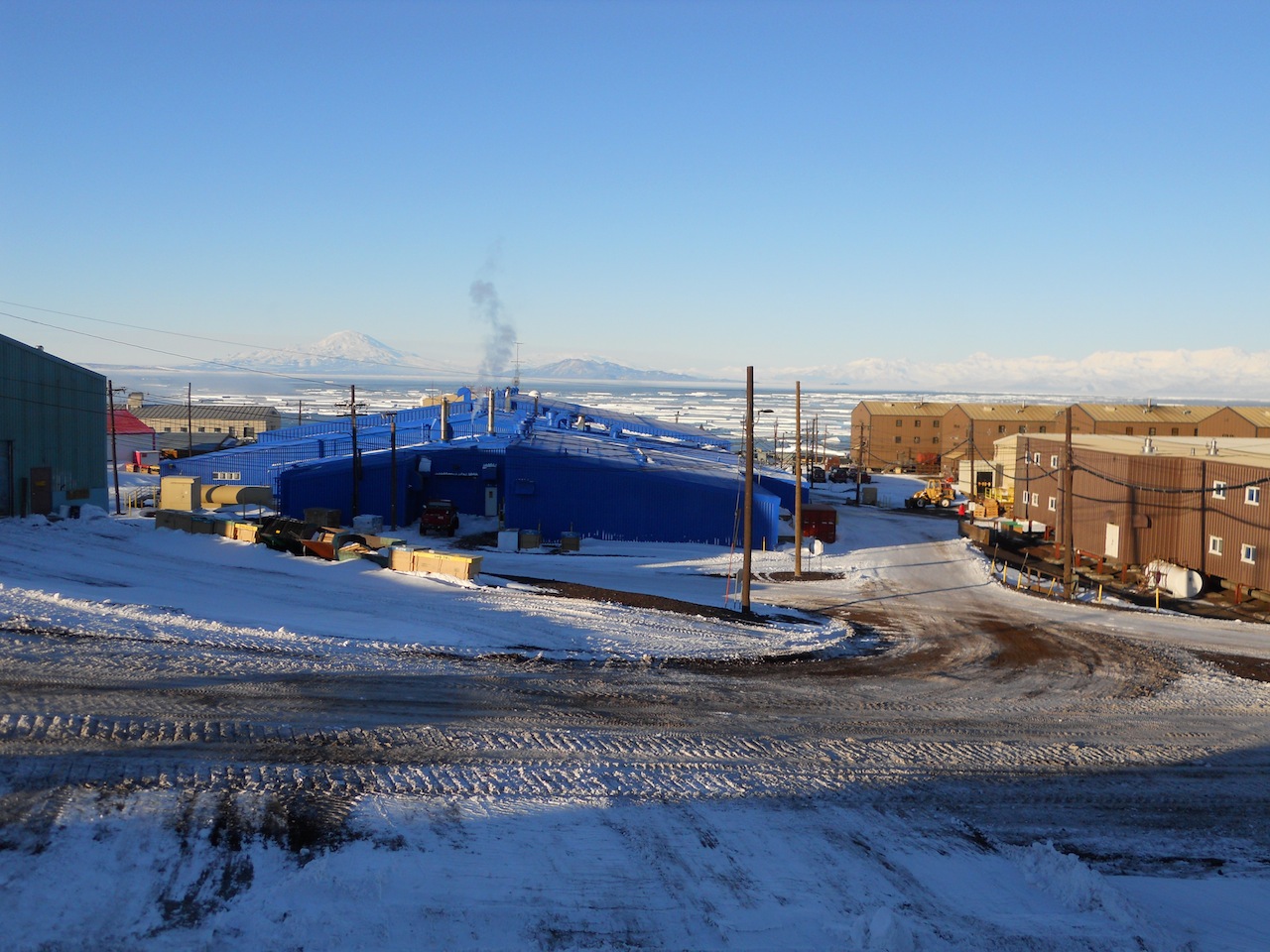
McMurdo Sound. Beginning in December, blue ocean water becomes visible on the far northern horizon and slowly draws closer to station. By the time the icebreaker arrives, the ice has thinned out quite a bit. Due to a mix of water currents, wind, and warmth from the sun, the sea ice slowly breaks apart and drifts northward out to sea, leaving open water around McMurdo Station. It is a strange sight to see the ocean in the same spot where airplanes would land on an ice runway three months earlier. Below, I've collected photos spanning from August 2010 through February 2011 to show the building of the ice pier through the offloading of the supply ship.
Building the Ice Pier
Building an ice pier takes several months of work and extremely cold temperatures. During the winter, the Fleet Ops team clear the snow off the area where the pier will lay. They then pour down layers of water which freezes, thickening the ice. Between these several layers of water, they lay down crisscrossed pieces of rebar to provide a strong structure within the ice. Once the ice and rebar are complete, a foot and a half of black volcanic rock is layered on top to protect the frozen pier from the warming rays of the sun.
 |
| The leftovers of the ice pier from 2010. |
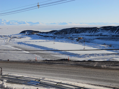 |
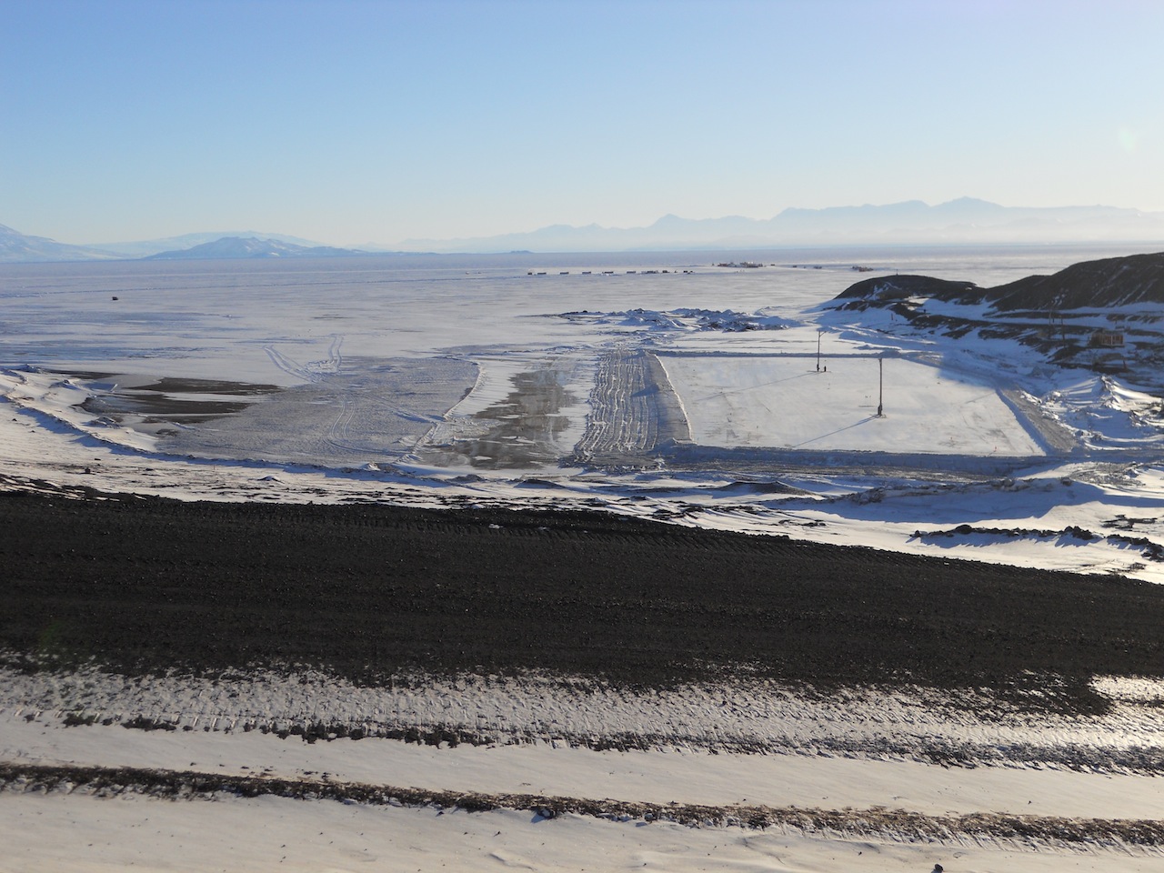
| The ice portion of the new ice pier for 2011. |
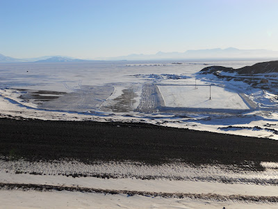 |
| Another view of the new ice pier with the ice runway in the background. |
 |
| Black rock is added to the pier to protect it from the sun's warmth. |
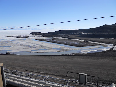 |
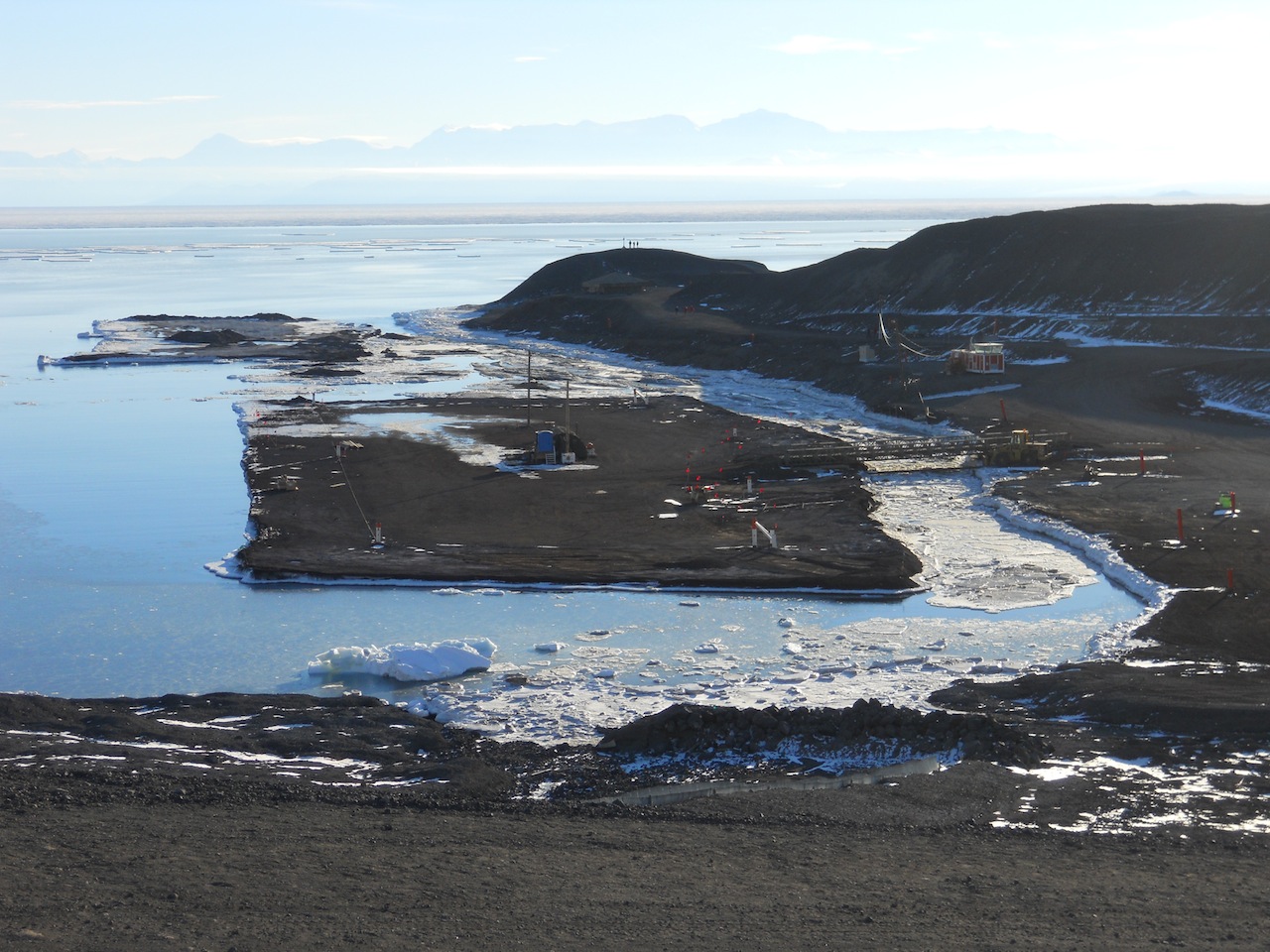
| The completed new ice pier with the old pier to the left. This photo comes from later in the season when the ice in the bay had melted significantly. |
 |
| Another view of the old and new ice piers. |
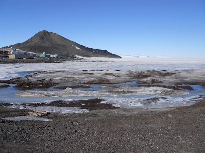 |
| A close-up of the remnants of the old ice pier with Ob Hill in the background. |
Arrival of the Ships
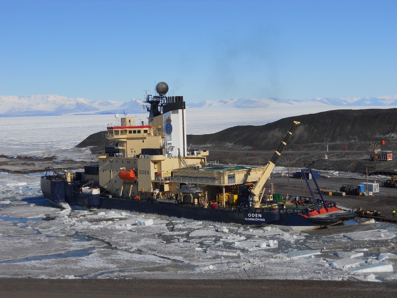
On January 16, 2011, the Swedish icebreaker
Oden arrived at McMurdo. At this point the sea ice was still intact around the station. The
Oden docked for a day and then spent several days breaking up the ice to create a channel for the other ships to follow.
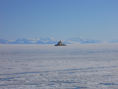 |
| The icebreaker Oden appears on the horizon. |
 |
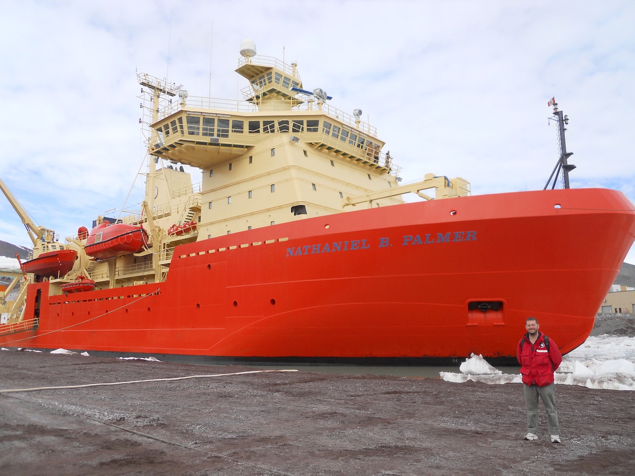
| On the left is the Oden, and behind it on the right in the far distance is the Nathaniel B. Palmer, the Antarctic research vessel which travels the Southern Ocean doing scientific work. |
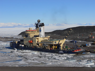 |
| The Oden docked next to the ice pier. |
 |
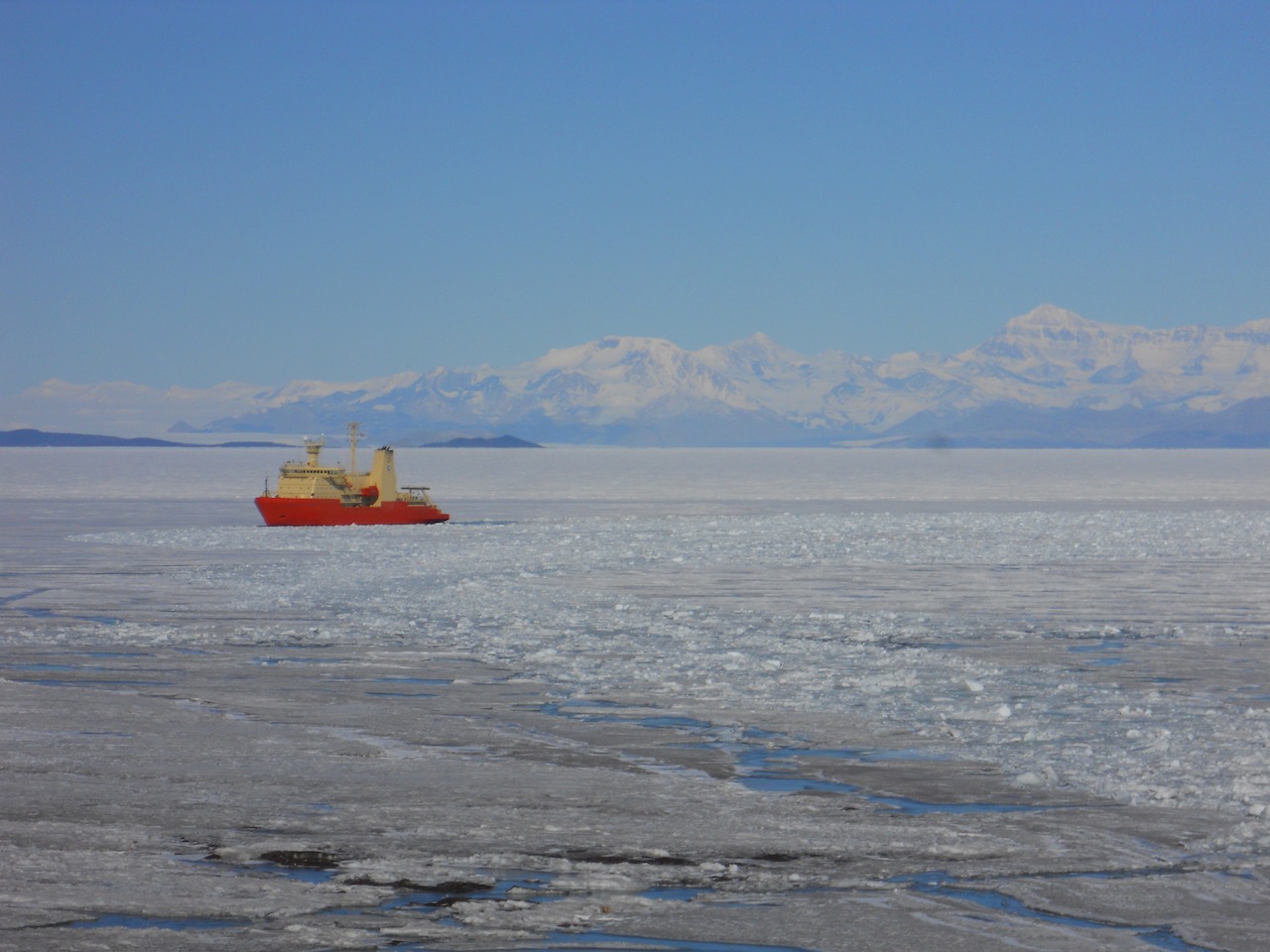
| While the Oden was docked, the Palmer waited out in the water. |
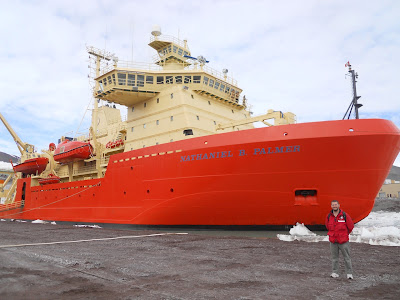 |
| I got to take a tour of the Palmer while it spent several days docked at McMurdo. |
 |
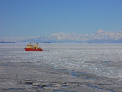
| The third ship to arrive on station was the fuel tanker, which contained several million gallons of fuel for McMurdo and the South Pole. Several pipelines were run from the ship to the various fuel storage tanks around station. |
 |
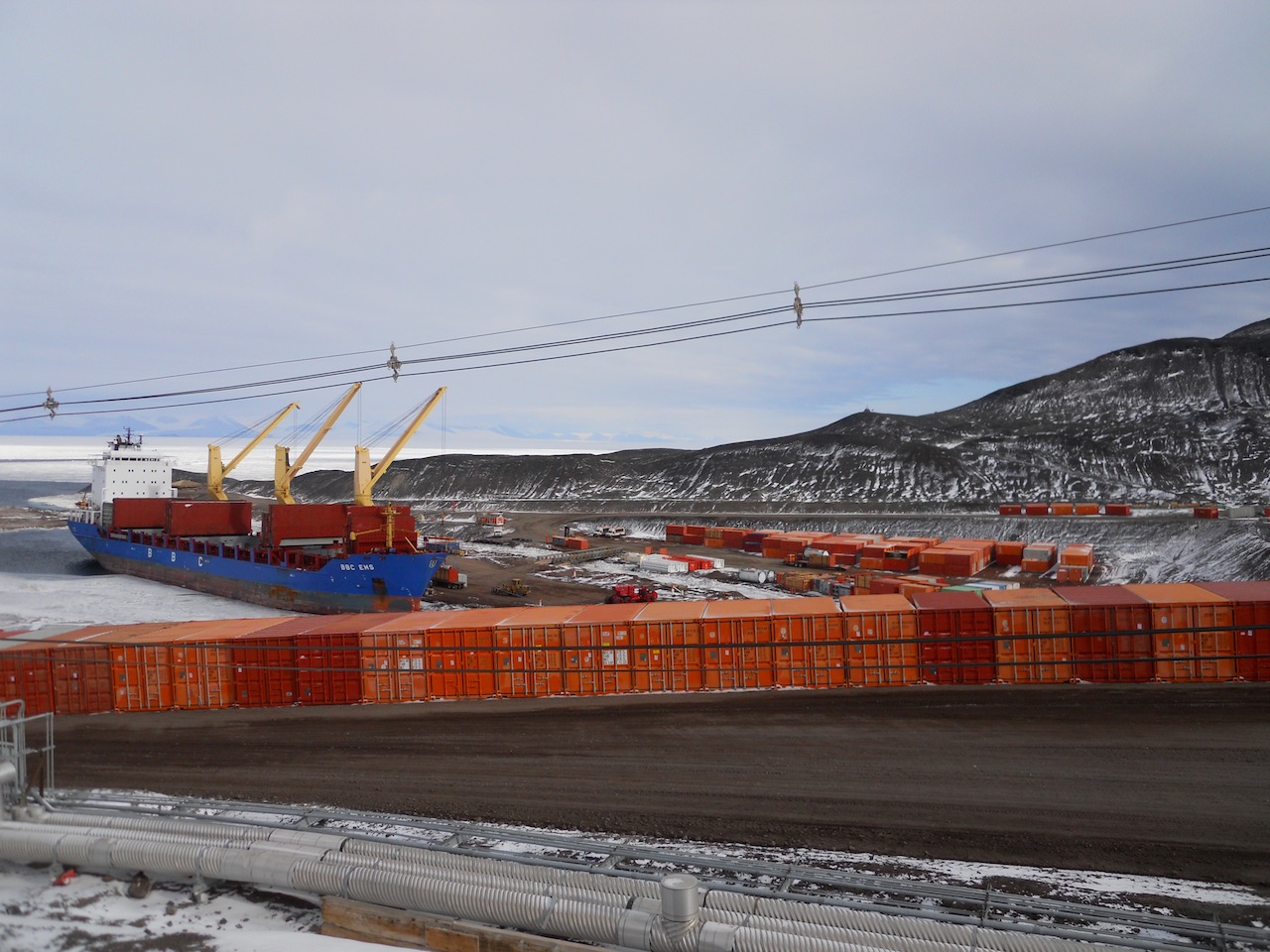
| The fourth and final vessel to arrive (and the one that stayed the longest) was the supply vessel. This ship contained all the various supplies that would keep McMurdo and the South Pole running for the next year and it took over a week to unload and reload it. |
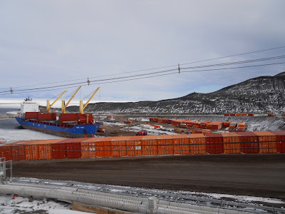 |
| Milvans full of waste and other stuff to be shipped back to the United States were lined up around the dock. Once the supplies were loaded off the ship, these milvans would be loaded on. |
 |
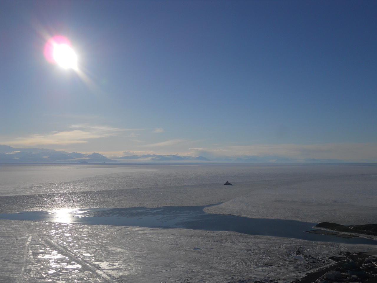
| The Oden continues breaking up the sea ice. As the ice broke apart, the pieces would float northward from McMurdo Sound into the ocean leaving large patches of open water around the station. |
 |
| Palettes full of food were piled around the food warehouse during the supply vessel offload. |
 |
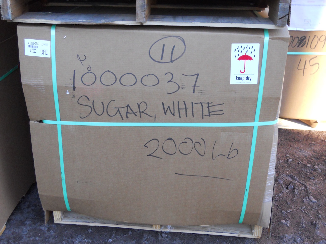
| This is only one of many sugar palettes to arrive. |
 |
| So much pasta... |
The Breaking of the Sea Ice
By the time the supply vessel and the
Oden left in mid-February, the sea ice had broken up considerably. There are a number of factors which contribute to this process, including warmth from the sun, currents from the water underneath the ice, and motion from the winds that blow over the sea. On some days, I would look out and see a plethora of ice floes; on other days, the open water would be empty of ice.
 |
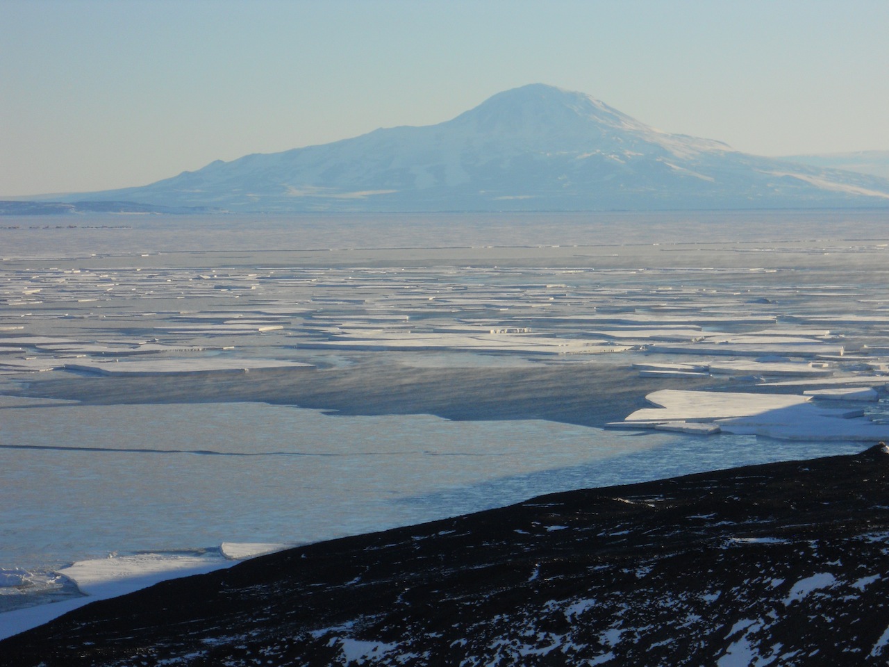
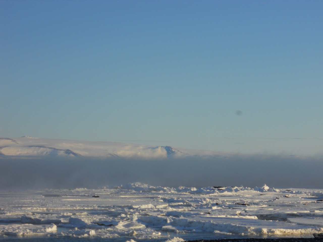
| Broken sea ice with Mt. Discovery in the background. |
 |
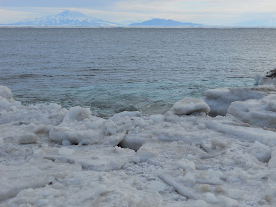
| Open water in front of the Transantarctic Mountains. |
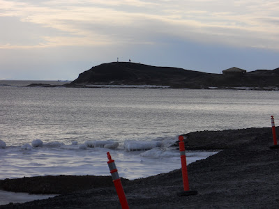 |
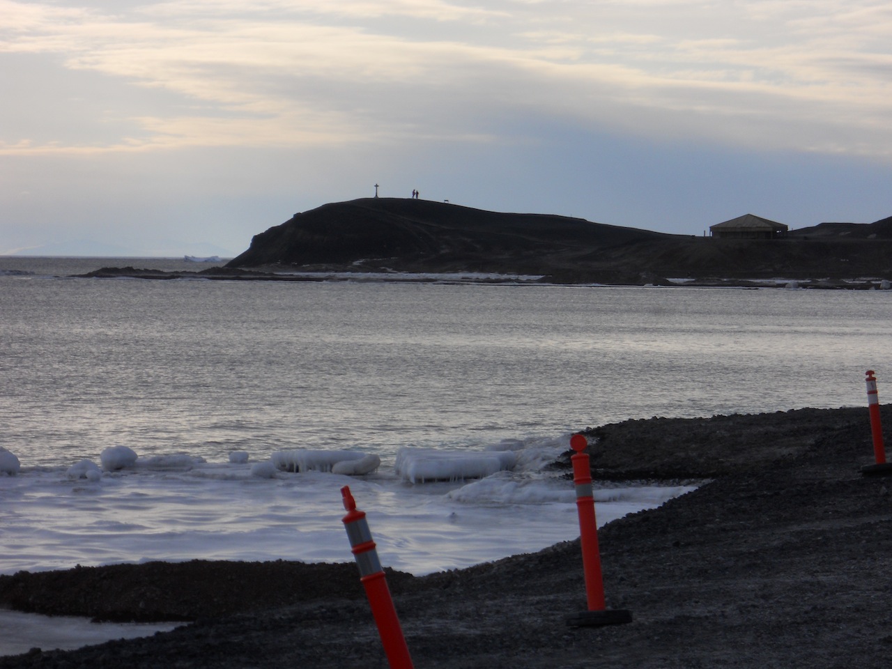
| Hut Point surrounded by open water. |
 |
| Waves crashing on the shore! How nice it was to hear the sound of water! |
 |
| The sea ice filled with ice floes in front of Mt. Discovery. |
 |
| The sea ice in the golden sunlight of evening (and a skua in the top left corner). |
 |
| The ice pier at the end of the summer season, floating in the sea instead of being locked in the ice. |
 |
| Pieces of ice stuck between the old ice pier and the new ice pier. |
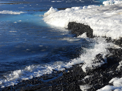 |
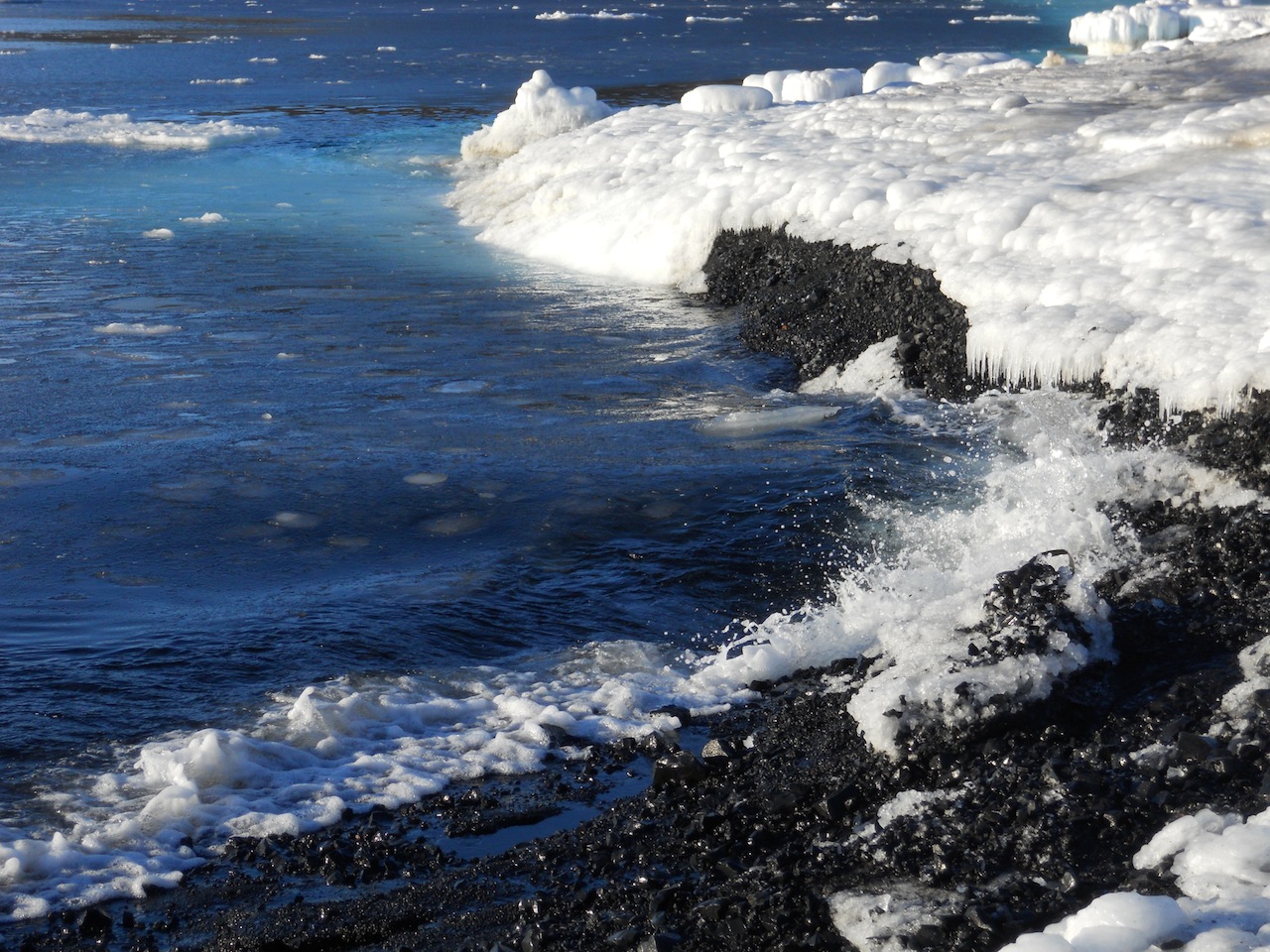
| Waves!! |
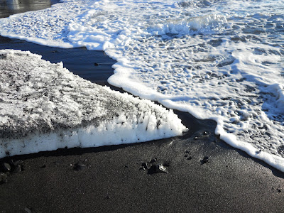 |
| Apparently Ross Island has black sand beaches underneath all that ice. |
 |
| The beach, the waves, and the sun... it's paradice! ;) |
 |
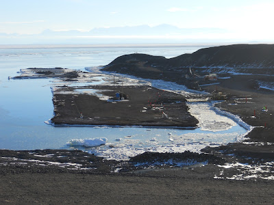
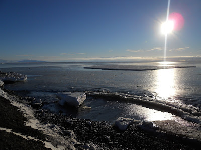
| The water around Hut Point is a deep blue color, something I would expect to see in a tropical environment rather than a polar one. |
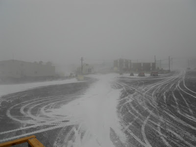 |
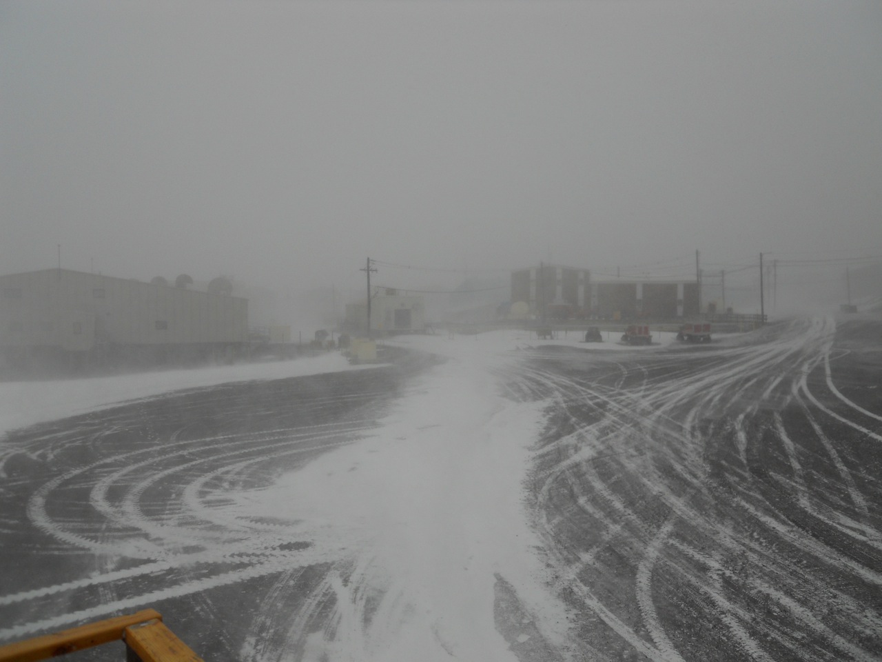
| On February 22, we got hit by a Condition 2 storm. The day before this, the sea water was clear of ice. |
 |
| The day after the storm, the sea was filled with new pieces that had broken off. |
 |
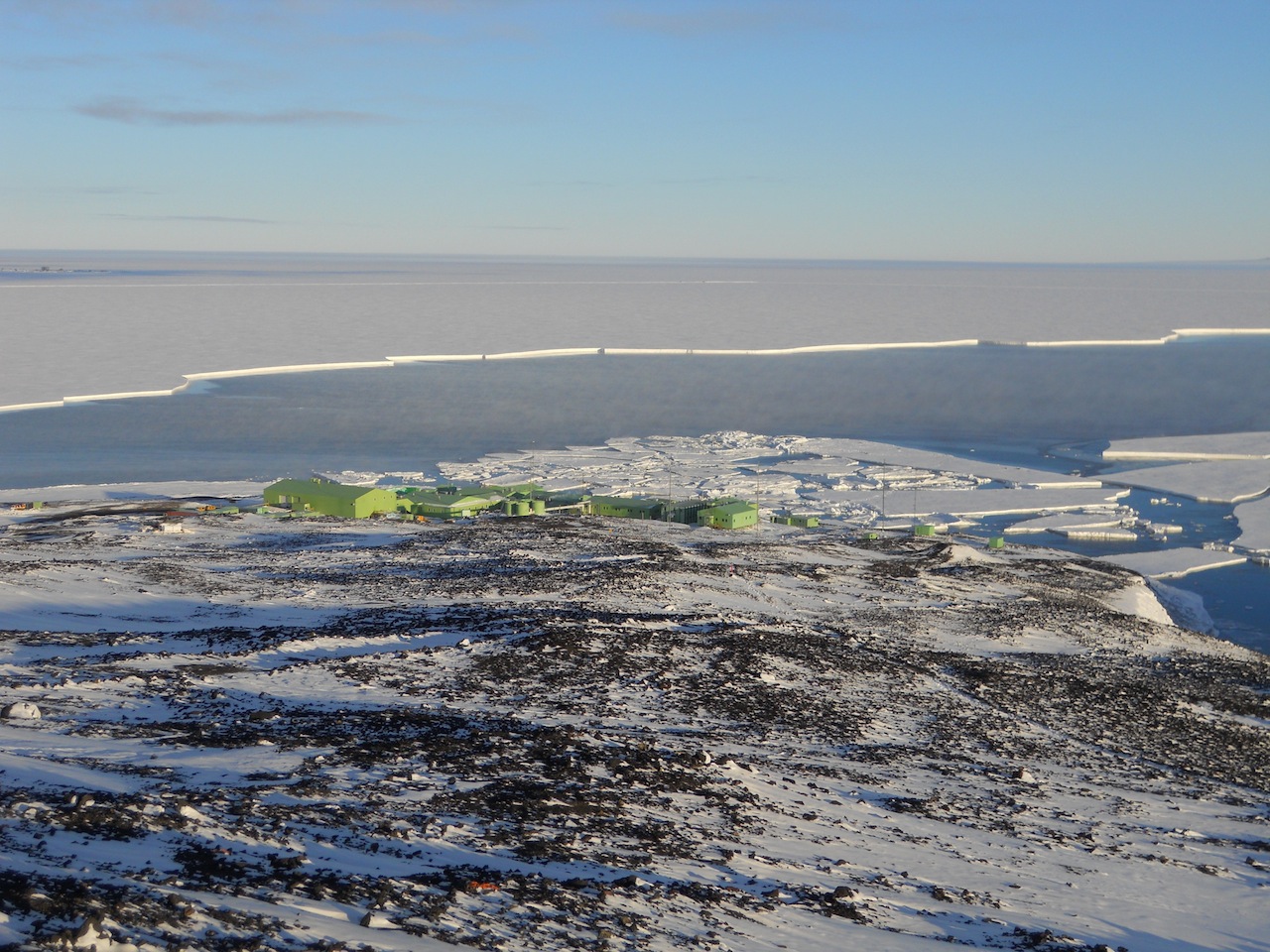
| Ice floes around Scott Base. |
 |
| So much sea ice! |
 |
| Fog would often form over the open water creating a sort of blanket effect. |
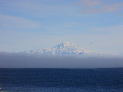 |
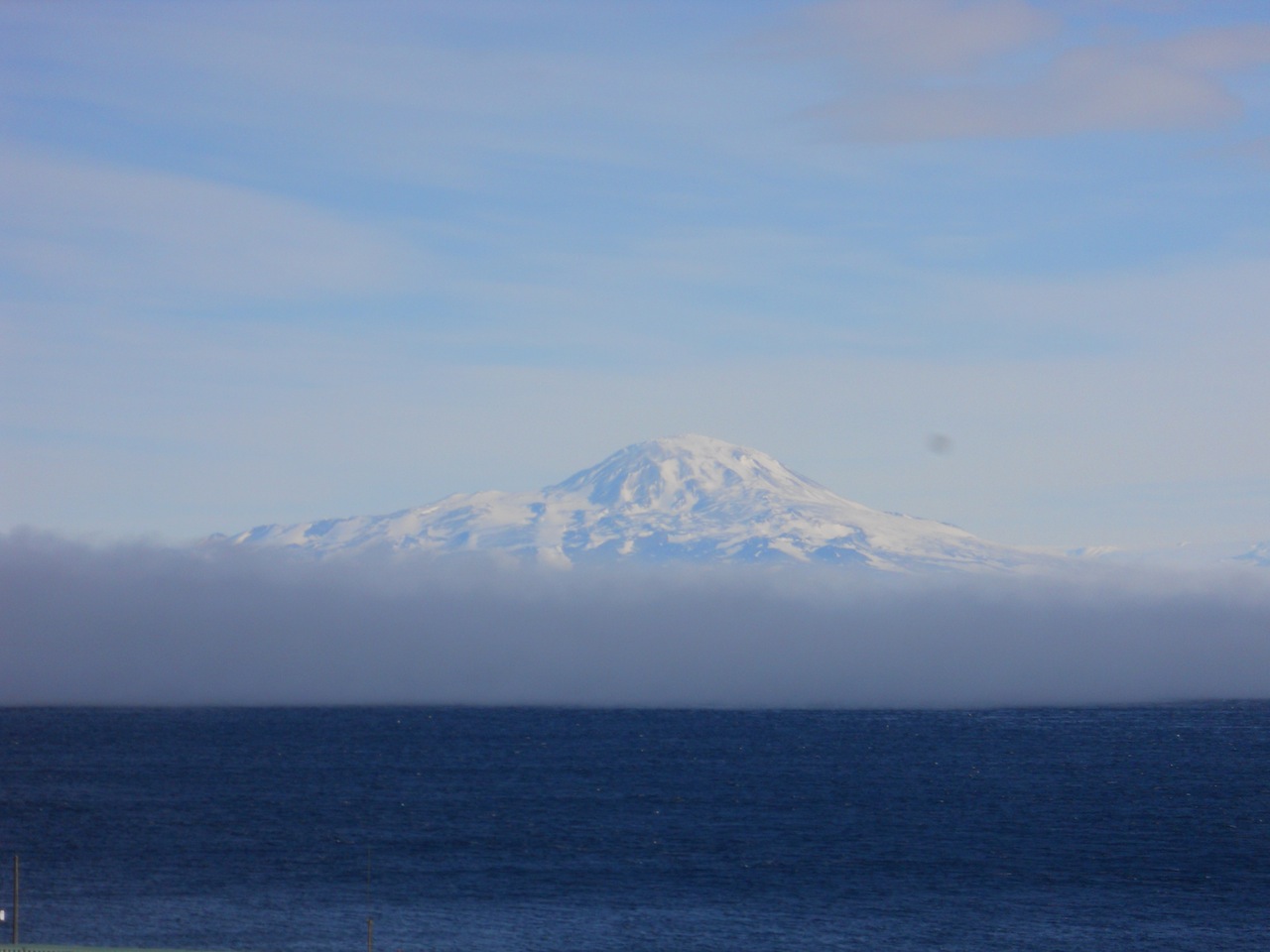
| Mt. Discovery behind a fog over the ocean. |
 |
| The edge of the sea ice near Scott Base. By this point, most of the Pressure Ridges had floated away. |
 |
| The buildings of Scott Base provide a scale with which to gauge the size of the ice floes. They're pretty big. :) |
 |
| From Scott Base, I could see penguins across the water on the edge of the ice. |
 |
| Weddell seals gathered together at the edge of the sea and penguins in the distance. |
 |
| This satellite photos shows the extent of the open water this year. The ice has not broken up this much since 1997. Enlarging the photo allows you to see the road that runs from Scott Base to the Pegasus Airfield. The sea came dangerously close to taking out the road right at the time when most people were leaving for the season. Fortunately no incidents occurred, but the road was wrinkled in two places from the movement of the ice. Spooky! |